Contour Lines On A Topographic Map
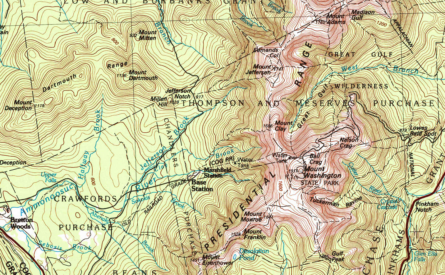
A topographic map is a two-dimensional representation of the three-dimensional surface of the land. A topographic map enables you to visualize the hills and valleys of the land itself. It also provides specific details as to the elevation of the surface. Topography is the shape of the land surface. Topographic map contour lines represent the land surface.
Contour Lines
Lines snake their way around a topographic map. They are called contour lines.
All points along the same contour line are at the same elevation above sea level.
Think of a contour line as a closed loop. By following one, you would travel flat, not uphill or downhill, and would eventually end up back around at your starting point if you went all the way around it. They are used to determine elevations (referred to in feet or meters, above sea level).
Topographic contour lines allow you to figure out general terrain characteristics from their patterns. For example, lines that are crowded close together – means that the terrain is steep. Lines spaced widely apart indicate more gentle slopes.
They also trend up valleys and form a “V” or a “U” where they cross a stream.
Thick and Thin
You’ll notice both thin and thick contour lines on a topographic map. “Index lines” are thick. “Interval lines” are thin. They both represent contour elevation.
Index Lines
However, index lines (the bold / thick lines) are typically labeled with a number indicating the elevation for that particular line.
Interval Lines and Contour Interval
The thin interval lines are unmarked.
The distance represented between each of the interval lines is known as the contour interval. The contour interval is stated on every topographic map and is usually located near the scale.
For example, if a topographic map scale indicates a contour interval of 6 meters (nearly 20 feet), and a particular thick ‘index’ contour line on the map is labeled ‘1040’, this means that everything along that contour line is at 1040 meters elevation above sea level (the newer USGS topo maps are in meters), and each thin line above or below that index line is a difference of 6 meters.
Note: A thought to bear in mind when you are using a map out on the ground… The gap between the interval lines – 6m – if a feature on the land is smaller than that height, and situated between two elevation intervals, it may not appear on the map at all. So, be aware of that distance, depending on the map you’re reading.
Topographical Map Contour Lines Visualize The Land
The beauty of a topographic map is its ability to infer a picture in your mind of the lay of the land. Once you allow your eyes to observe the overall pattern of the thick and thin contour lines, it becomes fairly easy to imagine the hills and valleys.
The topo map may help you locate where you are. For example, if you know that you are within the confines of a given map, you could potentially look around and identify several (3 is good) points such as hilltops, valleys, etc. and then look at your map with that frame of reference in your mind while searching for the same identifiers on the contour of the map itself. By using triangulation you could discover your current position on the map.
The unique “V” or “U” shapes along lines of contour will indicate where rivers and streams will likely be (which themselves are typically drawn on the map in blue).
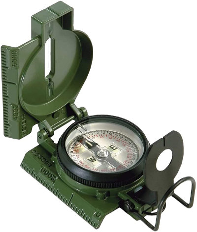
Of course it would help to have a good compass!
Here’s a quality classic, Made in the USA. I’ve had this one for many, many years. The tritium still puts out light…
Tritium Lensatic Compass
(view on amzn)

There are countless uses for topographic maps. It may be a good idea to have several which cover the geography of the land near where you live, or other areas of interest where you may travel.
The USGS site, store.usgs.gov is a nice resource where you can select a location for available map options. You can download them as a PDF for free. You can also purchase hard copies too.
[ Read: Compass For Map Reading And Navigation ]

