The Best Route To Bug Out Or Get Back Home
If and when it’s time to bug out or if you need to get back home during a major disaster or regional crisis, have you ever thought about the best way (route) to get there?
Observation: Have you ever walked in the woods and noticed the trails and paths that have been formed by the animals traveling them? We too as humans travel along our own regular routes in our day to day lives. They are typically the quickest and most efficient routes to get from here to there, and are the same routes traveled by most others. We are all creatures of habit.
Here’s why this can become a problem, and what to do about it…
(UPDATED)
During a disaster, these routes will become increasingly clogged with others who are trying to get home or escape the area – bugging out. It is reasonable to expect that a disaster scenario that’s bad enough – these routes of travel will become very slow, or even impassible.
For those who commute to densely populated regions (and back home again) as part of your daily work routine, you can surely imagine the risk, and how the major routes, highways, freeways and arteries can quickly become parking lots…
Even some of the secondary roads will become heavily traveled — the interconnected secondary roads between towns — some of which lead to highway intersections (choke points). These semi-mainstream secondary roads are also typically traveled by the same people who end up on the highways and freeways, because these roads lead to the on-and-off ramps near their homes and neighborhoods.
Here’s the thing…
Most people travel these same roads, most all of the time, during their routines of life. It is habit. In fact, even though most people know alternate routes within their immediate local area where they live, they will still travel their habitual routes to get from point A to point B. Because they always have, and it’s probably (usually) the quickest way.
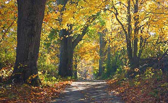
Knowing this can provide you an advantage. Discover and plan for alternative routes of travel that are NOT part of the mainstream routes of travel. Most of you probably already know the back roads within your immediate neighborhood or town, but that’s probably the extent of it. Do you know the back roads in other areas? Probably not, because you’ve never traveled them.
The most important piece of advice regarding getting back home, or bugging out during a major disaster in which you suspect highways could become jammed – is the following:
Know the back roads that DO NOT intersect with a freeway on-ramp or off-ramp of a major traveled artery, and know the back roads that are NOT the semi-mainstream secondary roads.
Even if you do not intend to get onto a highway, any road that involves an intersection with the highway will risk becoming clogged. Similarly any secondary road that is known to be the most often traveled road, will risk becoming a choke point.
So, how do you discover the back roads that you seek?
Consider online tools, such as Google Earth or Google Maps (and others). Check it out BEFORE you need to evacuate or bug-out. Pre-plan contingency back-road routes to and from your potential destinations. These online tools feature useful capabilities such as zooming in to street level or to discover which secondary roads are crossing under or over a freeway as opposed to an on-ramp or off-ramp (meaning that there will be no choke point with the freeway).
A GPS mapping tool in your vehicle will visualize and re-route you, however you shouldn’t depend on them absolutely. There are some details on a GPS that may not be provided with regards to your desire to avoid choke points. Plus, the GPS satellite systems need to be ‘live’ for it to work with your unit.
There are are lots of great maps and road atlas’s that you can use to find your back road routes. Get yourself some printed maps. From a survival preparedness point of view, a hard copy map or road atlas of every state which you may travel should be a priority prep (kept in your vehicle) when it comes to navigation.
A list of State Road Atlas Maps
Remember this: Most people will be unable to successfully route themselves around the major traveled roads and routes outside of their familiar domain, and these people will become part of the problem as the primary roads and freeways become slow and clogged. Depending on the disaster, this could even become life threatening.
The lesson here is to explore alternative routes to and from your work, to and from your bug-out location, and anywhere else that you expect you may need to go. Find roads that are less traveled. These roads will take you longer to get where you’re going, but that’s okay because you’re NOT looking at this for saving time. You’re looking at this from the viewpoint of SAFETY and SUCCESS.
Once you discover these alternate roads and routes, then TRAVEL them. Become familiar with them. It’s also a refreshing change to get off the main roads and travel the back roads once in a while.

